In today’s digital world, accurate address data is essential for businesses, government services, and logistics providers across the UK. Whether delivering parcels, managing utilities, or analysing customer data, even a small address error can lead to delays, lost revenue, and poor service. This is where UPRN lookup plays a crucial role. By using a Unique Property Reference Number (UPRN), organisations can ensure precise identification of every property and location in the country.
This guide explains what UPRN is, how it works, and why it is transforming address validation in the UK, especially when combined with modern GIS data systems.In today’s digital world, accurate address data is essential for businesses, government services, and logistics providers across the UK. Whether delivering parcels, managing utilities, or analysing customer data, even a small address error can lead to delays, lost revenue, and poor service. However, there are reliable solutions available to overcome these challenges. One of the most effective solutions is UPRN lookup. By using a Unique Property Reference Number (UPRN), organisations can ensure precise identification of every property and location in the country.
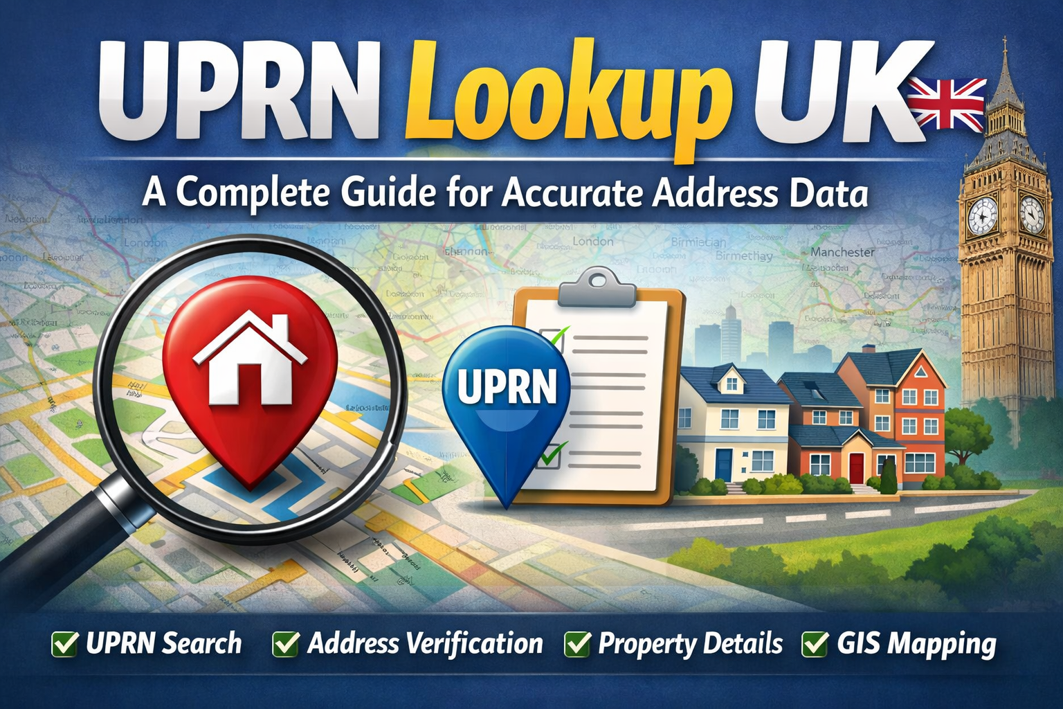
What Is a UPRN and Why Does It Matter?
A Unique Property Reference Number (UPRN) is a unique numeric code assigned to every addressable location in Great Britain. This includes homes, offices, and even objects like bus stops or utility sites.
Each UPRN is created and maintained by local authorities and Ordnance Survey, ensuring accuracy and reliability. Unlike traditional addresses, which may change over time, a UPRN remains constant throughout the life of a property—even if the street name or building number changes.
This consistency makes UPRN a powerful solution. It acts as a single “source of truth” for identifying locations, removing ambiguity from address data.
How UPRN Lookup Works in the UK
A UPRN lookup allows users to find the unique identifier linked to a specific address through online tools, postcode searches, or integrated systems.
When an address or postcode is entered, the system matches it with a UPRN stored in authoritative datasets like AddressBase. These datasets combine address details with geographic coordinates and property metadata.
This creates a precise link between a physical location and its digital record. Because UPRNs are connected to geographic coordinates, they work seamlessly with GIS data, making them an effective solution for mapping and analysis.
Improving Address Accuracy with UPRN
Traditional address formats rely on text, which can lead to spelling errors, missing information, or inconsistent formatting.
UPRNs provide a reliable solution by replacing text-based identification with a unique number. This ensures that each property is recognised correctly, regardless of how the address is written.
Even if a property name changes or appears differently across systems, the UPRN remains the same, preventing duplication and confusion.
Reducing Errors and Enhancing Data Quality
Errors in address data can result in failed deliveries, delayed services, and unreliable customer records.
UPRNs offer a practical solution by standardising how locations are identified. Organisations can detect duplicates, correct mismatches, and maintain clean datasets more efficiently.
This leads to improved data quality, reduced risks, and better operational performance.
The Role of UPRN in GIS Data and Location Intelligence
UPRNs are closely integrated with GIS data, making them essential for modern location intelligence systems. Each UPRN is linked to precise geographic coordinates, enabling accurate mapping.
Businesses can analyse spatial data, optimise delivery routes, and plan services more effectively. This makes UPRNs a valuable solution for data-driven decision-making.
Benefits of UPRN for UK Businesses
UPRN is not just a technical tool—it is a proven solution that delivers real business value.
By implementing UPRN-based systems, businesses can improve address validation, reduce operational errors, and enhance customer experience. UPRNs also support better data integration, allowing systems and departments to work with consistent and reliable information.
The Future of Address Validation in the UK
As digital transformation continues, the demand for accurate address data will grow. UPRNs are becoming a standard across public and private sectors, helping create a unified approach to location data.
With the integration of GIS, automation, and advanced analytics, UPRNs will continue to provide scalable solutions for address validation and data management.
See also: Cybersecurity in Financial Technology
Conclusion
UPRN lookup is transforming how addresses are managed in the UK. More importantly, it provides a clear and effective solution to the challenges caused by inaccurate address data.
By adopting UPRNs, organisations can improve accuracy, reduce errors, and streamline operations. As the demand for reliable data increases, using solutions like UPRN is no longer optional—it is essential.